Geolocate

Jibacoa topographic map

Click on the map to display elevation.

About this map

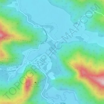
Name: Jibacoa topographic map, elevation, terrain.

Location: Jibacoa, Manicaragua, Villa Clara, 54590, Cuba (22.02085 -79.98501 22.02090 -79.98493)

Average elevation: 1,325 ft

Minimum elevation: 1,079 ft

Maximum elevation: 2,103 ft

Gear up for your next adventure:

📡GPS Antenna Upgrade - Enhance GPS reception in remote terrain
🧷Carabiner Set - Durable clips for gear attachment
🥾Women's Hiking Boots - Top-rated trail boots with ankle support and superior grip
🪶Thermal Camp Blanket - Extra warmth for cold nights
🔦LED Headlamp - Bright and durable LED headlamp for night navigation

As an Amazon Associate, this site earns from qualifying purchases at no extra cost to you.