Geolocate

Cushman topographic map

Click on the map to display elevation.

About this map

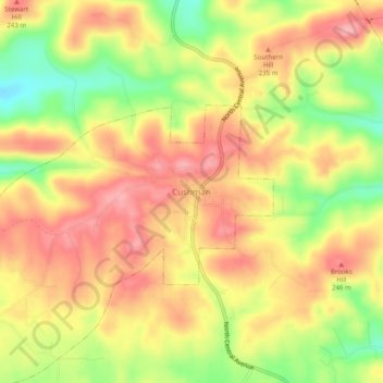
Name: Cushman topographic map, elevation, terrain.

Location: Cushman, Independence County, Arkansas, 72526, United States (35.85409 -91.77424 35.89409 -91.73424)

Average elevation: 679 ft

Minimum elevation: 443 ft

Maximum elevation: 846 ft

Independence County trails, hiking, mountain biking, running and outdoor activities

Gear up for your next adventure:

Solar GPS Watches - Advanced multisport watches with built-in topographic maps
🔊Portable Camp Speaker - Music and alerts at camp
❄️Traction Cleats - Prevent slips on icy trails during winter hikes
🪶Trail Camera - Capture wildlife on your hikes
🚑Emergency Bivvies - Heat-reflective sleeping bags for survival situations

As an Amazon Associate, this site earns from qualifying purchases at no extra cost to you.