
Thank you for supporting this site ❤️
Make a donation
Make a donation
Gear up for your next adventure:
As an Amazon Associate, this site earns from qualifying purchases at no extra cost to you.
Tabacco topographic map
Click on the map to display elevation.
Thank you for supporting this site ❤️
Make a donation
Make a donation
Gear up for your next adventure:
As an Amazon Associate, this site earns from qualifying purchases at no extra cost to you.
About this map
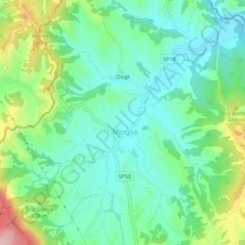
Name: Tabacco topographic map, elevation, terrain.
Location: Tabacco, Schegli, Mioglia, Savona, Liguria, Italia (44.48143 8.40219 44.50143 8.42219)
Average elevation: 1,280 ft
Minimum elevation: 1,079 ft
Maximum elevation: 1,768 ft
Thank you for supporting this site ❤️
Make a donation
Make a donation
Gear up for your next adventure:
As an Amazon Associate, this site earns from qualifying purchases at no extra cost to you.