Geolocate

Sheikh Ali topographic map

Click on the map to display elevation.

About this map

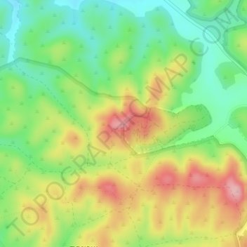
Name: Sheikh Ali topographic map, elevation, terrain.

Location: Sheikh Ali, 3415, Lachish Regional Council, Ashkelon Subdistrict, South District, Israel (31.53611 34.88700 31.53621 34.88710)

Average elevation: 1,086 ft

Minimum elevation: 860 ft

Maximum elevation: 1,375 ft

Other topographic maps

Click on a map to view its topography, its elevation and its terrain.

Gear up for your next adventure:

Backpacking Tents - Weight-optimized shelters for multi-day topographic surveys
Backpacking Tent - Lightweight and durable tent for multi‑day hikes
❄️Traction Cleats - Prevent slips on icy trails during winter hikes
🪶Compact Camp Shovel - Folding shovel for campsite tasks
🪶Survival Guide Book - Expert advice for emergency preparedness

As an Amazon Associate, this site earns from qualifying purchases at no extra cost to you.