Geolocate

Rayapudi topographic map

Click on the map to display elevation.

About this map

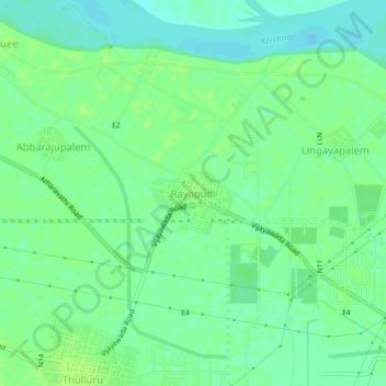
Name: Rayapudi topographic map, elevation, terrain.

Location: Rayapudi, Amaravati, Thullur, Guntur, Andhra Pradesh, India (16.52785 80.46073 16.56785 80.50073)

Average elevation: 79 ft

Minimum elevation: 56 ft

Maximum elevation: 95 ft

Gear up for your next adventure:

🦺Reflective Outdoor Gear - Safety gear for low‑light conditions
💧Water Filtration Bottles - Safely drink from streams and lakes while exploring
🔦LED Headlamp - Bright and durable LED headlamp for night navigation
🔋Solar Power Banks - Keep your GPS and phone charged in remote wilderness areas
📦Dry Bags Set - Waterproof storage for electronics and clothes

As an Amazon Associate, this site earns from qualifying purchases at no extra cost to you.