
Make a donation
Gear up for your next adventure:
As an Amazon Associate, this site earns from qualifying purchases at no extra cost to you.
Vientiane Capital topographic map
Click on the map to display elevation.
Make a donation
Gear up for your next adventure:
As an Amazon Associate, this site earns from qualifying purchases at no extra cost to you.
About this map
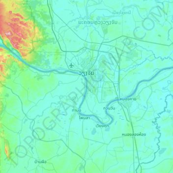
Name: Vientiane Capital topographic map, elevation, terrain.
Average elevation: 614 ft
Minimum elevation: 512 ft
Maximum elevation: 1,742 ft
Make a donation
Gear up for your next adventure:
As an Amazon Associate, this site earns from qualifying purchases at no extra cost to you.
Other topographic maps
Click on a map to view its topography, its elevation and its terrain.
B. Haysok
Laos > Vientiane Prefecture > Chanthabuly District > Vientiane Capital
Average elevation: 558 ft
Nongtha Marsh
Laos > Vientiane Prefecture > Chanthabuly District > Vientiane Capital > B. Nongthanua
Average elevation: 574 ft
Sibounheuang
Laos > Vientiane Prefecture > Chanthabuly District > Sibounheuang
Average elevation: 561 ft