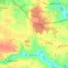
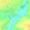
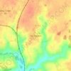
Laxfield topographic map
Click on the map to display elevation.
About this map

Name: Laxfield topographic map, elevation, terrain.
Location: Laxfield, Mid Suffolk, Suffolk, England, United Kingdom (52.27406 1.32004 52.32281 1.40163)
Average elevation: 174 ft
Minimum elevation: 82 ft
Maximum elevation: 210 ft
Other topographic maps
Click on a map to view its topography, its elevation and its terrain.
Stanway Green
United Kingdom > England > Suffolk > Mid Suffolk > Worlingworth
Average elevation: 190 ft
Thorpe Street
United Kingdom > England > Suffolk > Mid Suffolk > Hinderclay > Thorpe Street
Average elevation: 118 ft
Withersdale Street
United Kingdom > England > Suffolk > Mid Suffolk > Mendham > Withersdale Street
Average elevation: 125 ft