
Depue topographic map
Click on the map to display elevation.
About this map
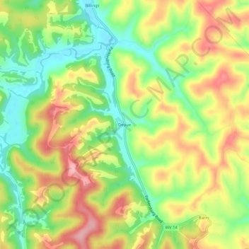
Name: Depue topographic map, elevation, terrain.
Location: Depue, Roane County, West Virginia, United States (38.81814 -81.41707 38.85814 -81.37707)
Average elevation: 896 ft
Minimum elevation: 676 ft
Maximum elevation: 1,135 ft
Roane County trails, hiking, mountain biking, running and outdoor activities