
Thank you for supporting this site ❤️
Make a donation
Make a donation
Gear up for your next adventure:
As an Amazon Associate, this site earns from qualifying purchases at no extra cost to you.
Opobo topographic map
Click on the map to display elevation.
Thank you for supporting this site ❤️
Make a donation
Make a donation
Gear up for your next adventure:
As an Amazon Associate, this site earns from qualifying purchases at no extra cost to you.
About this map
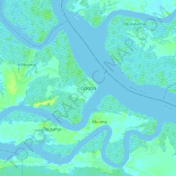
Name: Opobo topographic map, elevation, terrain.
Location: Opobo, Opobo/Nkoro, Rivers, Nigeria (4.47291 7.49825 4.55291 7.57825)
Average elevation: 10 ft
Minimum elevation: -7 ft
Maximum elevation: 59 ft
Thank you for supporting this site ❤️
Make a donation
Make a donation
Gear up for your next adventure:
As an Amazon Associate, this site earns from qualifying purchases at no extra cost to you.