
Levelland topographic map
Click on the map to display elevation.
Levelland
Levelland became the county seat upon its organization in 1921. Initially named Hockley City by Charles W. Post in 1912, development began in 1921, and the town was swiftly renamed for its local topography. The town's foundation was further solidified with the commencement of Santa Fe Railroad service in July 1925.
About this map
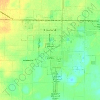
Name: Levelland topographic map, elevation, terrain.
Location: Levelland, Hockley County, Texas, 79336, United States (33.53791 -102.40190 33.60831 -102.32605)
Average elevation: 3,520 ft
Minimum elevation: 3,474 ft
Maximum elevation: 3,566 ft
Hockley County trails, hiking, mountain biking, running and outdoor activities