
Union topographic map
Click on the map to display elevation.
About this map
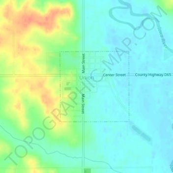
Name: Union topographic map, elevation, terrain.
Location: Union, Hardin County, Iowa, United States (42.23792 -93.06989 42.24892 -93.05533)
Average elevation: 961 ft
Minimum elevation: 915 ft
Maximum elevation: 1,060 ft
Hardin County trails, hiking, mountain biking, running and outdoor activities
Other topographic maps
Click on a map to view its topography, its elevation and its terrain.