
Peter topographic map
Click on the map to display elevation.
About this map
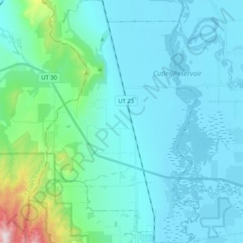
Name: Peter topographic map, elevation, terrain.
Location: Peter, Petersboro, Cache County, Utah, United States (41.71759 -112.03367 41.82500 -111.94202)
Average elevation: 4,741 ft
Minimum elevation: 4,400 ft
Maximum elevation: 7,129 ft
Cache County trails, hiking, mountain biking, running and outdoor activities