Geolocate

Wakefield topographic map

Click on the map to display elevation.

About this map

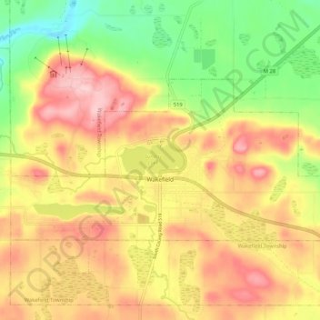
Name: Wakefield topographic map, elevation, terrain.

Location: Wakefield, Gogebic County, Michigan, 49968, United States (46.46278 -89.98971 46.49898 -89.88566)

Average elevation: 1,509 ft

Minimum elevation: 1,194 ft

Maximum elevation: 1,788 ft

Gogebic County trails, hiking, mountain biking, running and outdoor activities

Other topographic maps

Click on a map to view its topography, its elevation and its terrain.

Watersmeet

United States > Michigan > Gogebic County

Average elevation: 1,637 ft

Gear up for your next adventure:

⛑️Personal Locator Beacon - Safety beacon for emergencies
🔭Compact Binoculars - HD vision for scouting terrain and identifying distant landmarks
🧭GPS Watch Accessories - Bands and chargers for GPS watches
🪶Fire Starter Kit - Reliable fire starter for survival and camping
🛠️Backpacking Tool Kit - Essential toolkit for outdoor repairs

As an Amazon Associate, this site earns from qualifying purchases at no extra cost to you.