Geolocate

Dongsha topographic map

Click on the map to display elevation.

About this map

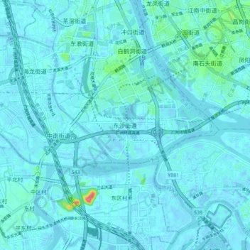
Name: Dongsha topographic map, elevation, terrain.

Location: Dongsha, Guangzhou City, Guangdong Province, 510380, China (23.01817 113.19890 23.09817 113.27890)

Average elevation: 20 ft

Minimum elevation: -20 ft

Maximum elevation: 246 ft

Other topographic maps

Click on a map to view its topography, its elevation and its terrain.

Huadong

China > Guangdong Province > Guangzhou City > Huadong

Average elevation: 233 ft

Gear up for your next adventure:

📦Gear Storage Bags - Organize and protect outdoor equipment
🪵Folding Camp Saw - Compact saw for wood and campsite work
🧥Men's Rain Shells - Premium waterproof and breathable jackets for mountain weather
🧷Carabiner Set - Durable clips for gear attachment
📱Heavy-Duty Phone Cases - Drop-proof and waterproof protection for outdoor navigation

As an Amazon Associate, this site earns from qualifying purchases at no extra cost to you.