
Amboseli topographic map
Interactive map
Click on the map to display elevation.
About this map
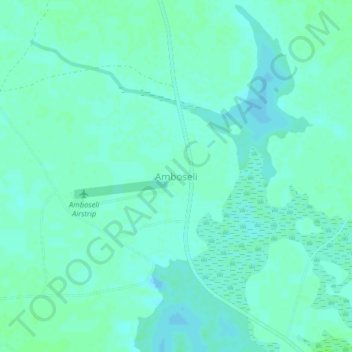
Name: Amboseli topographic map, elevation, terrain.
Location: Amboseli, Kajiado County, Kenia (-2.66333 37.23908 -2.62333 37.27908)
Average elevation: 3,714 ft
Minimum elevation: 3,701 ft
Maximum elevation: 3,724 ft
Other topographic maps
Click on a map to view its topography, its elevation and its terrain.
Lake Magadi
Kenia > Kajiado County > Magadi
Lake Magadi, Magadi, Kajiado County, Kenia
Average elevation: 2,254 ft