
Namanga topographic map
Interactive map
Click on the map to display elevation.
About this map
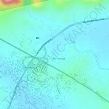
Name: Namanga topographic map, elevation, terrain.
Location: Namanga, Kajiado County, Kenia (-2.55960 36.77783 -2.53449 36.80395)
Average elevation: 4,357 ft
Minimum elevation: 4,236 ft
Maximum elevation: 5,052 ft
Other topographic maps
Click on a map to view its topography, its elevation and its terrain.
Lake Magadi
Kenia > Kajiado County > Magadi
Lake Magadi, Magadi, Kajiado County, Kenia
Average elevation: 2,254 ft