Geolocate

Rampur topographic map

Click on the map to display elevation.

About this map

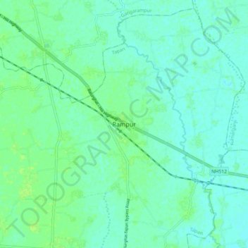
Name: Rampur topographic map, elevation, terrain.

Location: Rampur, Tapan, Dakshin Dinajpur, West Bengal, 733140, India (25.30648 88.59221 25.38648 88.67221)

Average elevation: 95 ft

Minimum elevation: 82 ft

Maximum elevation: 115 ft

Gear up for your next adventure:

🧴Hand Sanitizer - Keep hands clean while hiking
🚑Emergency Bivvies - Heat-reflective sleeping bags for survival situations
🧤Hiking Gloves - Protective gloves for rugged trails
📡Handheld GPS Device - Reliable handheld GPS for outdoor navigation
🌡️Handheld Weather Meters - Measure wind, temp, and pressure for safe mountain travel

As an Amazon Associate, this site earns from qualifying purchases at no extra cost to you.