Geolocate

Neftçala topographic map

Click on the map to display elevation.

About this map

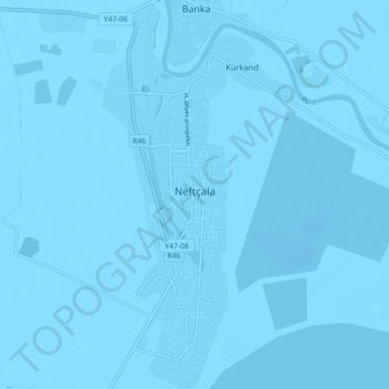
Name: Neftçala topographic map, elevation, terrain.

Location: Neftçala, Neftchala District, Shirvan-Salyan, Azerbaijan (39.34414 49.22718 39.41270 49.25665)

Average elevation: -89 ft

Minimum elevation: -102 ft

Maximum elevation: -69 ft

Gear up for your next adventure:

😴Insulated Sleeping Pads - Compact and warm pads for high-elevation camping
🧢Outdoor Hiking Hat - Sun protection hat for outdoor explorers
🏔️Mountain Trail Maps - High‑detail maps for popular peaks
🛰️Satellite Messengers - Emergency SOS and two-way messaging for off-grid adventures
🪓Survival Multi‑Tool - Versatile tool for camp and trail tasks

As an Amazon Associate, this site earns from qualifying purchases at no extra cost to you.