Geolocate

Saint-Raymond topographic map

Click on the map to display elevation.

About this map

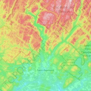
Name: Saint-Raymond topographic map, elevation, terrain.

Location: Saint-Raymond, Portneuf (MRC), Capitale-Nationale, Quebec, Canada (46.80608 -72.11688 47.16465 -71.63271)

Average elevation: 1,148 ft

Minimum elevation: 335 ft

Maximum elevation: 2,812 ft

Other topographic maps

Click on a map to view its topography, its elevation and its terrain.

Lac Weller

Canada > Quebec > Portneuf (MRC) > Saint-Ubalde

Average elevation: 518 ft

Julien

Canada > Quebec > Portneuf (MRC) > Deschambault-Grondines

Average elevation: 131 ft

Gear up for your next adventure:

Camping Coffee Makers - Enjoy premium coffee at the summit or campsite
🌲Outdoor Survival Books - Best books on survival skills
❄️Traction Cleats - Prevent slips on icy trails during winter hikes
📡GPS Antenna Upgrade - Enhance GPS reception in remote terrain
🧭Map Reading Tools - Tools and kits for map navigation

As an Amazon Associate, this site earns from qualifying purchases at no extra cost to you.