Geolocate

Capac topographic map

Click on the map to display elevation.

About this map

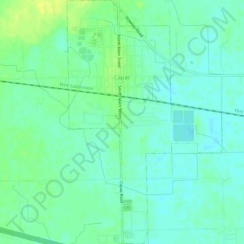
Name: Capac topographic map, elevation, terrain.

Location: Capac, Saint Clair County, Michigan, 48014, United States (42.98886 -82.93870 43.02346 -82.90859)

Average elevation: 804 ft

Minimum elevation: 781 ft

Maximum elevation: 840 ft

Saint Clair County trails, hiking, mountain biking, running and outdoor activities

Other topographic maps

Click on a map to view its topography, its elevation and its terrain.

Goodells

United States > Michigan > Saint Clair County

Average elevation: 709 ft

Wadhams

United States > Michigan > Saint Clair County

Average elevation: 659 ft

Brockway

United States > Michigan > Saint Clair County

Average elevation: 778 ft

Lesterville

United States > Michigan > Saint Clair County

Average elevation: 797 ft

Gear up for your next adventure:

🦶Hiking Gaiters - Keep debris and water out of your boots
🏕️Tent Footprint - Protect your tent base from wear
🏫Relief Map Kits - Hands-on tools for teaching landforms and elevation
🗺️Topographic Maps - Detailed topo maps for hiking, exploring and outdoor navigation
😴Insulated Sleeping Pads - Compact and warm pads for high-elevation camping

As an Amazon Associate, this site earns from qualifying purchases at no extra cost to you.