Geolocate

Nixon topographic map

Click on the map to display elevation.

About this map

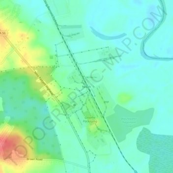
Name: Nixon topographic map, elevation, terrain.

Location: Nixon, Augusta, Richmond County, Georgia, United States (33.31709 -81.97595 33.35709 -81.93595)

Average elevation: 148 ft

Minimum elevation: 89 ft

Maximum elevation: 312 ft

Richmond County trails, hiking, mountain biking, running and outdoor activities

Gear up for your next adventure:

🧥Waterproof Jacket for Hiking - Breathable and rugged rain jacket for outdoor excursions
GPS Sports Watch - GPS watch for running, hiking and training
🧭Outdoor Navigation Book - Learn advanced navigation skills
🥾Men's Hiking Boots - Durable, waterproof footwear for rugged terrain and steep inclines
🌧️Backpack Rain Cover - Keep gear dry in wet weather

As an Amazon Associate, this site earns from qualifying purchases at no extra cost to you.