
Blythe topographic map
Click on the map to display elevation.
About this map
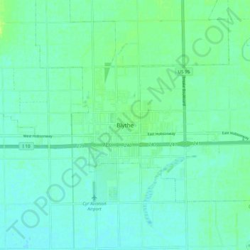
Name: Blythe topographic map, elevation, terrain.
Location: Blythe, Riverside County, California, 92226, United States (33.57348 -114.63375 33.65348 -114.55375)
Average elevation: 269 ft
Minimum elevation: 253 ft
Maximum elevation: 295 ft
Riverside County trails, hiking, mountain biking, running and outdoor activities