
Thank you for supporting this site ❤️
Make a donation
Make a donation
Gear up for your next adventure:
As an Amazon Associate, this site earns from qualifying purchases at no extra cost to you.
Meppayur topographic map
Click on the map to display elevation.
Thank you for supporting this site ❤️
Make a donation
Make a donation
Gear up for your next adventure:
As an Amazon Associate, this site earns from qualifying purchases at no extra cost to you.
About this map
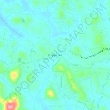
Name: Meppayur topographic map, elevation, terrain.
Location: Meppayur, Koyilandi, Kozhikode district, Kerala, 673524, India (11.50989 75.68969 11.54989 75.72969)
Average elevation: 85 ft
Minimum elevation: 7 ft
Maximum elevation: 482 ft
Thank you for supporting this site ❤️
Make a donation
Make a donation
Gear up for your next adventure:
As an Amazon Associate, this site earns from qualifying purchases at no extra cost to you.