Almis Marmoucha topographic map
Interactive map
Click on the map to display elevation.
About this map
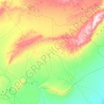
Name: Almis Marmoucha topographic map, elevation, terrain.
Average elevation: 5,013 ft
Minimum elevation: 3,117 ft
Maximum elevation: 8,091 ft

Click on the map to display elevation.
Name: Almis Marmoucha topographic map, elevation, terrain.
Average elevation: 5,013 ft
Minimum elevation: 3,117 ft
Maximum elevation: 8,091 ft