Geolocate

Yuyanaspa topographic map

Click on the map to display elevation.

About this map
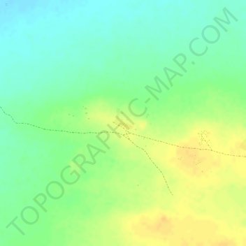
Name: Yuyanaspa topographic map, elevation, terrain.

Location: Yuyanaspa, Uribia, La Guajira, Colombia (11.80872 -72.26661 11.82872 -72.24661)

Average elevation: 95 ft

Minimum elevation: 43 ft

Maximum elevation: 141 ft

Gear up for your next adventure:

🪶Multi‑Purpose Knife - Useful blade for camp and trail
📷Action Cameras - Rugged cameras to document your journeys across rugged terrain
🎒Gear Packing Cubes - Organize your backpack efficiently
🪄Magnetic Compass - Accurate compass for navigation
🪶LED Camping Lantern - Bright lantern for camp lighting

As an Amazon Associate, this site earns from qualifying purchases at no extra cost to you.