Geolocate

融安县 topographic map

Interactive map

Click on the map to display elevation.

About this map

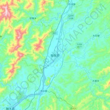
Name: 融安县 topographic map, elevation, terrain.

Location: 融安县, 柳州市, 广西壮族自治区, 中国 (25.06756 109.23282 25.38756 109.55282)

Average elevation: 912 ft

Minimum elevation: 325 ft

Maximum elevation: 3,825 ft

Other topographic maps

Click on a map to view its topography, its elevation and its terrain.

古益

中国 > 广西壮族自治区 > 融安县

古益, 融安县, 柳州市, 广西壮族自治区, 中国

Average elevation: 994 ft

泗顶镇

中国 > 广西壮族自治区 > 融安县

泗顶镇, 融安县, 柳州市, 广西壮族自治区, 中国

Average elevation: 1,358 ft

西桂

中国 > 广西壮族自治区 > 融安县 > 西桂

西桂, 融安县, 柳州市, 广西壮族自治区, 中国

Average elevation: 650 ft