Geolocate

Ombika topographic map

Click on the map to display elevation.

About this map

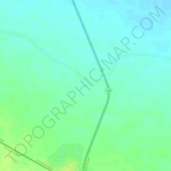
Name: Ombika topographic map, elevation, terrain.

Location: Ombika, Oshana, Namibia (-19.31555 15.94052 -19.31526 15.94090)

Average elevation: 3,694 ft

Minimum elevation: 3,671 ft

Maximum elevation: 3,727 ft

Gear up for your next adventure:

🌎3D Topographic Globes - Raised relief globes for a tactile understanding of geography
🪶Paracord Bracelet - Survival bracelet with built‑in tools
📱Solar Portable Charger - Solar power bank for charging devices off‑grid
🧯Portable Fire Pit - Compact fire pit for camping spots
🔥Camping Stove - Portable stove for camping and backcountry cooking

As an Amazon Associate, this site earns from qualifying purchases at no extra cost to you.