
横河镇 topographic map
Interactive map
Click on the map to display elevation.
About this map
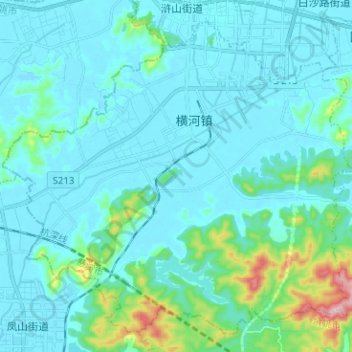
Name: 横河镇 topographic map, elevation, terrain.
Location: 横河镇, 慈溪市, 宁波市, 浙江省, 中国 (30.06696 121.16918 30.16490 121.29535)
Average elevation: 138 ft
Minimum elevation: -10 ft
Maximum elevation: 1,102 ft
Other topographic maps
Click on a map to view its topography, its elevation and its terrain.