
慈溪市森林公园 topographic map
Interactive map
Click on the map to display elevation.
About this map
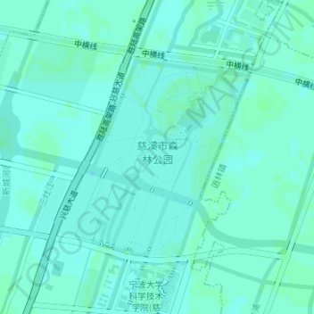
Name: 慈溪市森林公园 topographic map, elevation, terrain.
Location: 慈溪市森林公园, 白沙路街道, 慈溪市, 宁波市, 浙江省, 中国 (30.19299 121.28482 30.21007 121.30348)
Average elevation: 16 ft
Minimum elevation: 7 ft
Maximum elevation: 23 ft
Other topographic maps
Click on a map to view its topography, its elevation and its terrain.