Geolocate

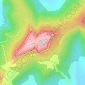
Visapur topographic map

Click on the map to display elevation.

Visapur

It is located in Pune district, 5 to 6 km from Malavli Railway station out of which 3 km is steep road. It has an elevation of 1084 meters above sea level. It is built on the same plateau as Lohagad.

Wikipedia (CC-BY-SA 3.0)

About this map

Name: Visapur topographic map, elevation, terrain.

Location: Visapur, Malavli, Mawal Subdistrict, Pune District, Maharashtra, 410401, India (18.72171 73.49271 18.72181 73.49281)

Average elevation: 2,697 ft

Minimum elevation: 2,005 ft

Maximum elevation: 3,530 ft

Gear up for your next adventure:

🪶Multi‑Purpose Knife - Useful blade for camp and trail
🚪Portable Camp Chair - Foldable chair for comfort at camp
📱Solar Portable Charger - Solar power bank for charging devices off‑grid
📻Weather Alert Radios - Stay informed of storm risks while off-the-grid
📷Action Camera - Capture your outdoor adventures in HD

As an Amazon Associate, this site earns from qualifying purchases at no extra cost to you.