Geolocate

Mosca topographic map

Click on the map to display elevation.

About this map

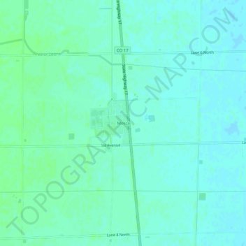
Name: Mosca topographic map, elevation, terrain.

Location: Mosca, Alamosa County, Colorado, 81146, United States (37.63124 -105.89119 37.67124 -105.85119)

Average elevation: 7,562 ft

Minimum elevation: 7,549 ft

Maximum elevation: 7,572 ft

Alamosa County trails, hiking, mountain biking, running and outdoor activities

Other topographic maps

Click on a map to view its topography, its elevation and its terrain.

Hooper

United States > Colorado > Alamosa County

Average elevation: 7,559 ft

Gear up for your next adventure:

👓Polarized Sunglasses - Outdoor sunglasses for glare reduction
🔥Camping Stove - Portable stove for camping and backcountry cooking
🪶Camp Gear Gift Set - Perfect gift bundle for outdoor fans
🚪Portable Camp Chair - Foldable chair for comfort at camp
🗺️Topographic Maps - Detailed topo maps for hiking, exploring and outdoor navigation

As an Amazon Associate, this site earns from qualifying purchases at no extra cost to you.