
Landan topographic map
Click on the map to display elevation.
About this map
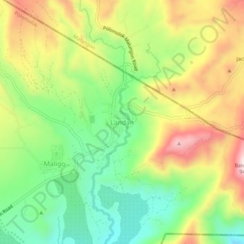
Name: Landan topographic map, elevation, terrain.
Location: Landan, Polomolok, South Cotabato, Soccsksargen, Philippines (6.29028 125.12574 6.33028 125.16574)
Average elevation: 2,215 ft
Minimum elevation: 1,575 ft
Maximum elevation: 3,028 ft
Other topographic maps
Click on a map to view its topography, its elevation and its terrain.