
Pandori topographic map
Click on the map to display elevation.
About this map
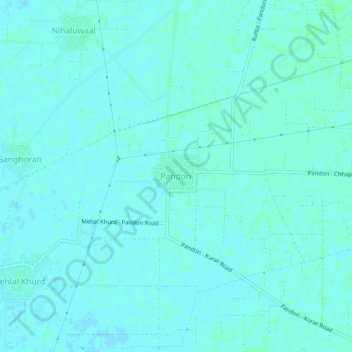
Name: Pandori topographic map, elevation, terrain.
Location: Pandori, Barnala Tahsil, Barnala District, Punjab, India (30.52824 75.59131 30.56824 75.63131)
Average elevation: 778 ft
Minimum elevation: 771 ft
Maximum elevation: 787 ft
Other topographic maps
Click on a map to view its topography, its elevation and its terrain.