Geolocate

Scipio topographic map

Click on the map to display elevation.

About this map

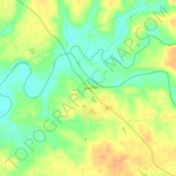
Name: Scipio topographic map, elevation, terrain.

Location: Scipio, Jennings County, Indiana, United States (39.05922 -85.73747 39.09922 -85.69747)

Average elevation: 666 ft

Minimum elevation: 600 ft

Maximum elevation: 725 ft

Jennings County trails, hiking, mountain biking, running and outdoor activities

Other topographic maps

Click on a map to view its topography, its elevation and its terrain.

North Vernon

United States > Indiana > Jennings County

Average elevation: 725 ft

Vernon

United States > Indiana > Jennings County

Average elevation: 686 ft

Gear up for your next adventure:

🍳Camping Cook Set - Complete cookware for outdoor meals
Backpacking Tent - Lightweight and durable tent for multi‑day hikes
🛌Ultralight Sleeping Bags - Compact down bags for cold nights in the wilderness
🔥Camping Stove - Portable stove for camping and backcountry cooking
📦Gear Storage Bags - Organize and protect outdoor equipment

As an Amazon Associate, this site earns from qualifying purchases at no extra cost to you.