Geolocate

Penwell topographic map

Click on the map to display elevation.

About this map

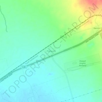
Name: Penwell topographic map, elevation, terrain.

Location: Penwell, Ector County, Texas, 79776, United States (31.71923 -102.61166 31.75923 -102.57166)

Average elevation: 2,949 ft

Minimum elevation: 2,897 ft

Maximum elevation: 3,081 ft

Ector County trails, hiking, mountain biking, running and outdoor activities

Other topographic maps

Click on a map to view its topography, its elevation and its terrain.

West Odessa

United States > Texas > Ector County

Average elevation: 2,995 ft

Gear up for your next adventure:

🪶Thermal Camp Blanket - Extra warmth for cold nights
🍳Camping Cook Set - Complete cookware for outdoor meals
🪶LED Camping Lantern - Bright lantern for camp lighting
💧Water Filtration Bottles - Safely drink from streams and lakes while exploring
🛡️Bear Spray Outdoor - Protection in bear country hikes

As an Amazon Associate, this site earns from qualifying purchases at no extra cost to you.