
Dunlap topographic map
Click on the map to display elevation.
About this map
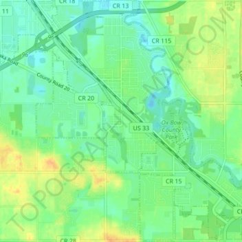
Name: Dunlap topographic map, elevation, terrain.
Location: Dunlap, Elkhart County, Indiana, United States (41.60852 -85.94562 41.65954 -85.88111)
Average elevation: 784 ft
Minimum elevation: 748 ft
Maximum elevation: 840 ft
Elkhart County trails, hiking, mountain biking, running and outdoor activities
Other topographic maps
Click on a map to view its topography, its elevation and its terrain.