Geolocate

Bynum topographic map

Click on the map to display elevation.

About this map

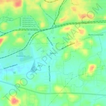
Name: Bynum topographic map, elevation, terrain.

Location: Bynum, Oxford, Calhoun County, Alabama, 36260, United States (33.59316 -85.98108 33.63316 -85.94108)

Average elevation: 653 ft

Minimum elevation: 571 ft

Maximum elevation: 807 ft

Calhoun County trails, hiking, mountain biking, running and outdoor activities

Gear up for your next adventure:

🏕️Tent Footprint - Protect your tent base from wear
📚Navigation Handbooks - Master the art of reading topographic maps and using a compass
💧Water Filtration Bottles - Safely drink from streams and lakes while exploring
🍳Camping Cook Set - Complete cookware for outdoor meals
🧦Hiking Socks - Comfortable socks to prevent blisters on long hikes

As an Amazon Associate, this site earns from qualifying purchases at no extra cost to you.