
Thank you for supporting this site ❤️
Make a donation
Make a donation
Gear up for your next adventure:
As an Amazon Associate, this site earns from qualifying purchases at no extra cost to you.
Zhengzhou topographic map
Click on the map to display elevation.
Thank you for supporting this site ❤️
Make a donation
Make a donation
Gear up for your next adventure:
As an Amazon Associate, this site earns from qualifying purchases at no extra cost to you.
About this map
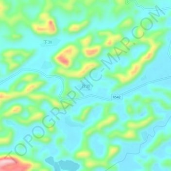
Name: Zhengzhou topographic map, elevation, terrain.
Location: Zhengzhou, Tiandeng County, Chongzuo City, Guangxi, China (23.22607 107.20970 23.26607 107.24970)
Average elevation: 1,617 ft
Minimum elevation: 1,411 ft
Maximum elevation: 2,293 ft
Thank you for supporting this site ❤️
Make a donation
Make a donation
Gear up for your next adventure:
As an Amazon Associate, this site earns from qualifying purchases at no extra cost to you.