
Cité Erriadh topographic map
Interactive map
Click on the map to display elevation.
About this map
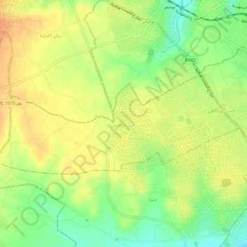
Name: Cité Erriadh topographic map, elevation, terrain.
Location: Cité Erriadh, Ksar Hellal, Monastir, Tunisie (35.64525 10.83394 35.66098 10.88135)
Average elevation: 89 ft
Minimum elevation: 16 ft
Maximum elevation: 138 ft
Other topographic maps
Click on a map to view its topography, its elevation and its terrain.