Geolocate

Panappuzha topographic map

Click on the map to display elevation.

About this map

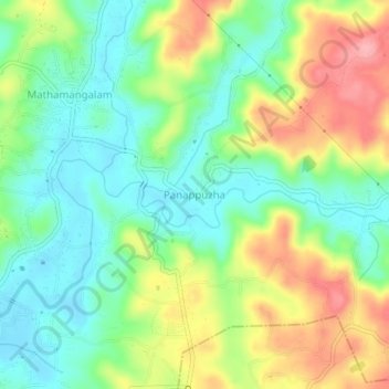
Name: Panappuzha topographic map, elevation, terrain.

Location: Panappuzha, Payyannur Taluk, Kannur, Kerala, 670306, India (12.10422 75.29294 12.14422 75.33294)

Average elevation: 157 ft

Minimum elevation: 13 ft

Maximum elevation: 384 ft

Gear up for your next adventure:

🧭GPS Watch Accessories - Bands and chargers for GPS watches
🛰️Handheld GPS Units - Professional satellite navigators for precise backcountry mapping
🧺Microfiber Travel Towels - Compact and fast-drying towels for trail use
💧Water Purification System - Clean water on the trail with reliable purifiers
🎒Outdoor Daypacks - Lightweight backpacks designed for carrying maps and essential gear

As an Amazon Associate, this site earns from qualifying purchases at no extra cost to you.