Geolocate

Narbarte topographic map

Click on the map to display elevation.

About this map

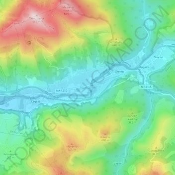
Name: Narbarte topographic map, elevation, terrain.

Location: Narbarte, Bertizarana, Baztan-Bidasoa, Navarre, 31793, Spain (43.11334 -1.64779 43.15334 -1.60779)

Average elevation: 1,024 ft

Minimum elevation: 397 ft

Maximum elevation: 2,208 ft

Gear up for your next adventure:

📱Heavy-Duty Phone Cases - Drop-proof and waterproof protection for outdoor navigation
🔦LED Headlamp - Bright and durable LED headlamp for night navigation
🎒Trekking Poles - Sturdy poles for balance and stability on rough terrain
🧭Hiking Compass - Precision compass for reliable navigation in the wilderness
🪶Compact Camp Shovel - Folding shovel for campsite tasks

As an Amazon Associate, this site earns from qualifying purchases at no extra cost to you.