
Mount Roberts topographic map
Click on the map to display elevation.
About this map
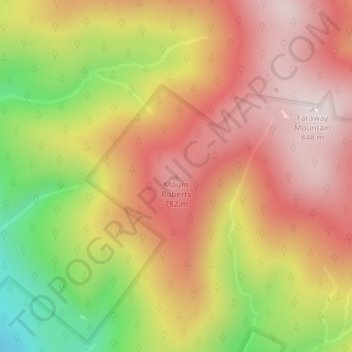
Name: Mount Roberts topographic map, elevation, terrain.
Average elevation: 2,005 ft
Minimum elevation: 899 ft
Maximum elevation: 2,766 ft
Other topographic maps
Click on a map to view its topography, its elevation and its terrain.
Black Cat Island
United States > New Hampshire > Carroll County > Moultonborough
Average elevation: 512 ft
Nineacre Island
United States > New Hampshire > Carroll County > Moultonborough
Average elevation: 518 ft
Castle in the Clouds
United States > New Hampshire > Carroll County > Moultonborough
Average elevation: 1,191 ft