Geolocate

Goshala topographic map

Click on the map to display elevation.

About this map

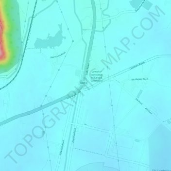
Name: Goshala topographic map, elevation, terrain.

Location: Goshala, Burla, Sambalpur, Odisha, 768025, India (21.42349 83.89649 21.43314 83.90512)

Average elevation: 561 ft

Minimum elevation: 509 ft

Maximum elevation: 1,017 ft

Gear up for your next adventure:

📱Heavy-Duty Phone Cases - Drop-proof and waterproof protection for outdoor navigation
🪶Multi‑Purpose Knife - Useful blade for camp and trail
📱Solar Portable Charger - Solar power bank for charging devices off‑grid
🪶Survival Guide Book - Expert advice for emergency preparedness
📚USA Hiking Guide Books - Top trail guides and map books

As an Amazon Associate, this site earns from qualifying purchases at no extra cost to you.