
Lake Bernard topographic map
Click on the map to display elevation.
About this map
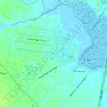
Name: Lake Bernard topographic map, elevation, terrain.
Location: Lake Bernard, Florence, Kent County, Delaware, United States (39.08868 -75.47459 39.08918 -75.47380)
Average elevation: 13 ft
Minimum elevation: -13 ft
Maximum elevation: 43 ft