
Thank you for supporting this site ❤️
Make a donation
Make a donation
Gear up for your next adventure:
As an Amazon Associate, this site earns from qualifying purchases at no extra cost to you.
Pakalavaripalle topographic map
Click on the map to display elevation.
Thank you for supporting this site ❤️
Make a donation
Make a donation
Gear up for your next adventure:
As an Amazon Associate, this site earns from qualifying purchases at no extra cost to you.
About this map
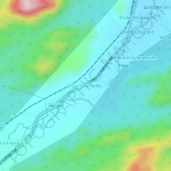
Name: Pakalavaripalle topographic map, elevation, terrain.
Location: Pakalavaripalle, Chandragiri, Tirupati, Andhra Pradesh, India (13.46046 79.17245 13.50046 79.21245)
Average elevation: 1,168 ft
Minimum elevation: 915 ft
Maximum elevation: 2,215 ft
Thank you for supporting this site ❤️
Make a donation
Make a donation
Gear up for your next adventure:
As an Amazon Associate, this site earns from qualifying purchases at no extra cost to you.