
Thank you for supporting this site ❤️
Make a donation
Make a donation
Gear up for your next adventure:
As an Amazon Associate, this site earns from qualifying purchases at no extra cost to you.
Guitol topographic map
Click on the map to display elevation.
Thank you for supporting this site ❤️
Make a donation
Make a donation
Gear up for your next adventure:
As an Amazon Associate, this site earns from qualifying purchases at no extra cost to you.
About this map
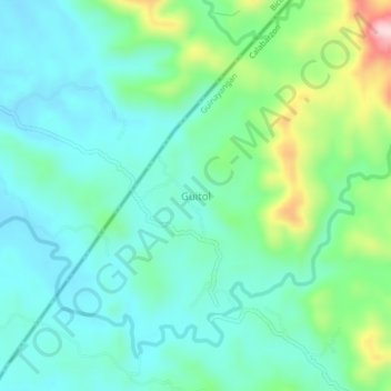
Name: Guitol topographic map, elevation, terrain.
Location: Guitol, Santa Elena, Quezon, Calabarzon, 4611, Philippines (14.08595 122.38632 14.12595 122.42632)
Average elevation: 266 ft
Minimum elevation: 43 ft
Maximum elevation: 955 ft
Thank you for supporting this site ❤️
Make a donation
Make a donation
Gear up for your next adventure:
As an Amazon Associate, this site earns from qualifying purchases at no extra cost to you.