Geolocate

Chadanavalli topographic map

Click on the map to display elevation.

About this map

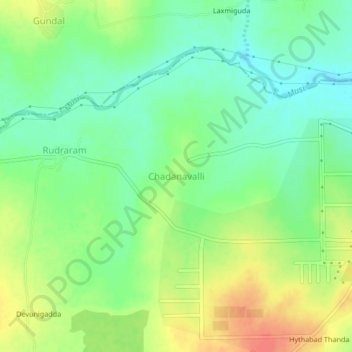
Name: Chadanavalli topographic map, elevation, terrain.

Location: Chadanavalli, Shabad mandal, Ranga Reddy, Telangana, India (17.21319 78.15179 17.25319 78.19179)

Average elevation: 1,913 ft

Minimum elevation: 1,844 ft

Maximum elevation: 2,001 ft

Gear up for your next adventure:

🚗GPS Dash Cams - Record your scenic drives through mountain passes and canyons
📚Navigation Handbooks - Master the art of reading topographic maps and using a compass
🔥Camping Stove - Portable stove for camping and backcountry cooking
🧭Pro Hiking Compasses - High-accuracy liquid-filled compasses for topographic orientation
📷Action Camera - Capture your outdoor adventures in HD

As an Amazon Associate, this site earns from qualifying purchases at no extra cost to you.