
Norwood topographic map
Click on the map to display elevation.
About this map
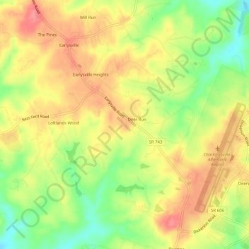
Name: Norwood topographic map, elevation, terrain.
Location: Norwood, Albemarle County, Virginia, 22936, United States (38.12486 -78.49140 38.16486 -78.45140)
Average elevation: 561 ft
Minimum elevation: 417 ft
Maximum elevation: 673 ft
Albemarle County trails, hiking, mountain biking, running and outdoor activities