Geolocate

Chuluut topographic map

Click on the map to display elevation.

About this map

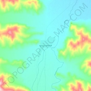
Name: Chuluut topographic map, elevation, terrain.

Location: Chuluut, Arkhangai, Mongolia (47.49642 100.18812 47.57642 100.26812)

Average elevation: 6,877 ft

Minimum elevation: 6,585 ft

Maximum elevation: 7,835 ft

Gear up for your next adventure:

🛶Inflatable Kayak - Portable kayak for rivers, lakes, and expeditions
🧴Hand Sanitizer - Keep hands clean while hiking
🪶Thermal Camp Blanket - Extra warmth for cold nights
🔋Rechargeable Batteries - Power up your outdoor devices
🔦LED Headlamp - Bright and durable LED headlamp for night navigation

As an Amazon Associate, this site earns from qualifying purchases at no extra cost to you.