
Thank you for supporting this site ❤️
Make a donation
Make a donation
Gear up for your next adventure:
As an Amazon Associate, this site earns from qualifying purchases at no extra cost to you.
Gombe topographic map
Click on the map to display elevation.
Thank you for supporting this site ❤️
Make a donation
Make a donation
Gear up for your next adventure:
As an Amazon Associate, this site earns from qualifying purchases at no extra cost to you.
About this map
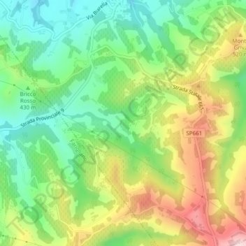
Name: Gombe topographic map, elevation, terrain.
Location: Gombe, Dogliani, Cuneo, Piedmont, 12063, Italy (44.50417 7.93937 44.52417 7.95937)
Average elevation: 1,414 ft
Minimum elevation: 1,010 ft
Maximum elevation: 2,011 ft
Thank you for supporting this site ❤️
Make a donation
Make a donation
Gear up for your next adventure:
As an Amazon Associate, this site earns from qualifying purchases at no extra cost to you.